
"She's Got The Look..."
- 1988 single by Roxette (Youtube video)
FLORENCE BECOMING A HURRICANE TODAY, TAKING AIM ON SOUTHEAST & MID-ATLANTIC THIS WEEK, GROWING TO A 140 MPH CAT 4. ALL COASTAL INTERESTS: IT'S TIME TO TALK PLANNING.

8:30 AM SUN 9/9 - By the time you read this, Florence is likely to have intensified into a Hurricane on her way to Category 3 status within a few days. Despite this being an El Nino-influenced season that generally defects most Atlantic systems due to strong westerlies off the Pacific, 2003's Isabel reminds us in these kinds of patterns, sometimes one storm can slip past the goalie.
It happened in September of that year, and now 15 years later, it's becoming clear Florence has the look of being that storm for 2018. This system has the potential to produce significant and wide-ranging impacts on the Carolinas and Mid-Atlantic not seen since 1999's Hurricane Floyd, 2003's Isabel and could easily eclipse 2012's Sandy.
Unless something major changes, impacts of rain, wind and inland/coastal flooding over several days are likely for anyone living east of I-81 from:
- North Carolina north to Pennsylvania
- The metro areas of Richmond, Washington, Baltimore, Philadelphia / New Jersey
- The entire Delaware-Maryland-Virginia Eastern shore
LATEST OFFICIAL FORECAST DETAILS


GFS model as example of storm position by Thu PM

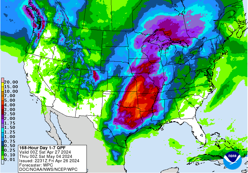
8-10"+ likely from North Carolina to Baltimore
FOOT'S FINAL WORDS until the next update:
For those who lived through the impacts of either Floyd, Isabel, Irene or Sandy, review your plans and recollections to consider what you would do different this time.