- An increasingly active weather pattern indicates the Mid-Atlantic and Eastern U.S. may be entering a high impact period of multiple winter weather events over the next 2-3 weeks to straight to March 1.
- The current pattern of "rain, cold, snow, ice, back to rain" is evidence that a resurgent El Nino in the Pacific is persistently delivering high moisture systems into the jet stream flow - which upon reaching the East coast, interact over several days with strong High pressure positioned nearby.
- The rising frequency of this repeating pattern, in a climatologically favored time of year for winter weather events, raises the probability that at some point soon -- deep Pacific moisture will collide with a stubborn-as-rock Arctic High, and the result will be a major to high impact coastal & inland "Big Kahuna" storm. Could it be an event that rivals the storied powder-producers of yesteryear? Why yes, it certaintly could.
This weekend may be a preview of what is to come:
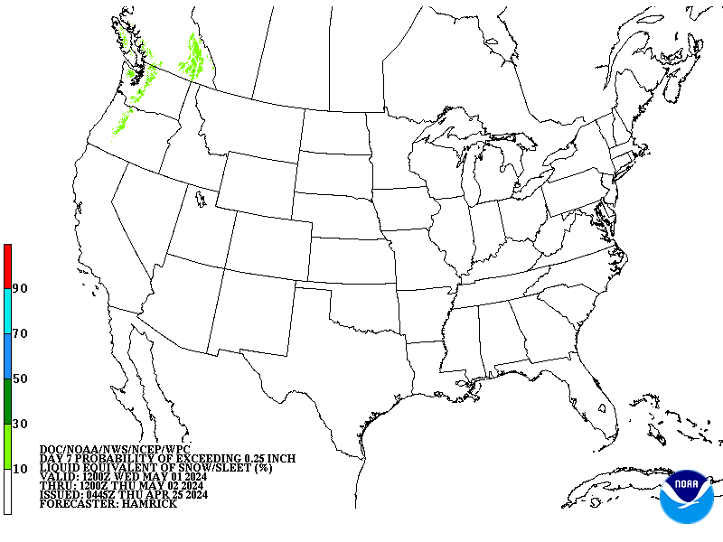
- The NOAA Weather Prediction Center in College Park, MD already has progged a notable probability of frozen precipitation in the Day 5,6 and 7 periods. This map is for next Monday into Tuesday.

- This is the first time all season these probability maps have shown a 10-30% chance of precipitation falling as a frozen substance up to at least 0.25" of liquid equivalent -- for 3 days in a row - and covering a large portion of the East.
- Put a more simpler way for us regular scratch-and-dent people, in a 10:1 snow to liquid ratio, this map is roughly equivalent to 2.5 - 4.0 inches of snow. That may not seem like much, but is a good indication that probabilities for accumulating snow over a large area are already notably high this early.
What are NWS local offices saying?
- Sterling VA NWS: "Guidance has shifted notably in the long term to a potentially colder and snowier solution, but uncertainty remains significant."
- Wakefield VA NWS: "The lack of consensus within individual model runs and between the global models results in considerable uncertainty in the long term. We have at least the potential for some precipitation type issues this weekend, into early next week."
- Philadelphia/Mt. Holly NJ NWS: "A very active weather pattern will persist through this period with several problematic shortwaves moving through a broad long wave trough over North America potentially impacting the area with more wintery weather."
Whatever happens from here forward, the makers of Dos Equis would
be proud, because the next 7 days are certainly going to rank among the most
interesting weather patterns in the world for a time.


